Views: 0
Em 1975, o duelo só se realizou depois de os dois líderes terem sido enganados pela RTP. E um dos moderadores teve de se levantar a meio
Views: 0
Em 1975, o duelo só se realizou depois de os dois líderes terem sido enganados pela RTP. E um dos moderadores teve de se levantar a meio
Views: 0
O famoso naufrágio do transatlântico Titanic em 1912 pode ter ocorrido devido a um incêndio que corroeu parte do casco do navio, tornando-o até 75% menos r
Fonte: Afinal, não foi um iceberg que fez o Titanic naufragar – ZAP
Views: 0
A obra monográfica ‘Fidalgos no Extremo Oriente 1550-1770: factos e lendas de Macau antigo’, uma das mais emblemáticas redigidas pelo historiador inglês Charles Ralph Boxer, está agor…
Views: 0
Um dos poucos investigadores chineses que se debruçaram sobre os incidentes de Novembro e Dezembro de 1966 partilha agora as suas conclusões pela Internet. Hanif Li, que em Maio concedeu uma entrev…
Views: 0
Archaeologists have been surprised by the strange finding of ancient Roman coins, buried in the ruins of a castle located in Japan. The four copper coins w
Fonte: Roman coins discovered buried underneath the ruins of Japanese castle
Views: 0
A CRÓNICA XXI DE 1989
in crónicas austrais https://www.lusofonias.net/images/pdf/CRONICAS%20AUSTRAIS%201978-1998%204%20edicao%202015.pdf
CRÓNICA XXI – TIMORENSES – PARTE 3
27.1. BALIBÓ REVISITADO
7 de dezembro de 1975 – Forças do exército regular indonésio invadem Timor-Leste. (mais…)
Views: 0
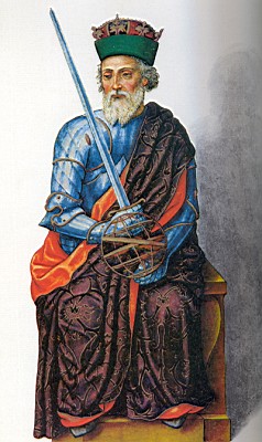
http://estoriasdahistoria12.blogspot.pt/2014/11/23-de-novembro-de-1221-nasce-o-futuro.html?spref=fb
Views: 0
Not much is known about the ancient civilisation known to historians as Etruscans, despite the fact a number of artefacts belonging to the ancient people h
Fonte: Recent discovery in Italy sheds a new light on the ancient Etruscans
